
Make a donation
Gear up for your next adventure:
As an Amazon Associate, this site earns from qualifying purchases at no extra cost to you.
Cherán topographic map
Click on the map to display elevation.
Make a donation
Gear up for your next adventure:
As an Amazon Associate, this site earns from qualifying purchases at no extra cost to you.
Cherán
Cherán (Spanish pronunciation: [tʃe'ɾan]) is a municipality located in the Mexican state of Michoacán, which is situated in the central western portion of Mexico, extending west to the Pacific Shore. Cherán itself lies in the northwestern portion of Michoacán, about 360 km (220 mi) west of Mexico City and approximately 123 km (76 mi) west of the state capital of Morelia; its average elevation is 2,251 metres (7,385 ft) above sea level. The Municipio (municipality) of Cherán is reported to have a population of 16,243, while the Localidad (town) of Cherán is officially accounted to have a population of 12,616, including 5,827 men and 6,787 women.
Make a donation
Gear up for your next adventure:
As an Amazon Associate, this site earns from qualifying purchases at no extra cost to you.
About this map
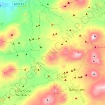
Name: Cherán topographic map, elevation, terrain.
Location: Cherán, Michoacán, Mexico (19.64504 -102.12918 19.83355 -101.87501)
Average elevation: 7,956 ft
Minimum elevation: 5,843 ft
Maximum elevation: 11,083 ft
Make a donation
Gear up for your next adventure:
As an Amazon Associate, this site earns from qualifying purchases at no extra cost to you.