Geolocate

Brasil topographic map

Click on the map to display elevation.

About this map

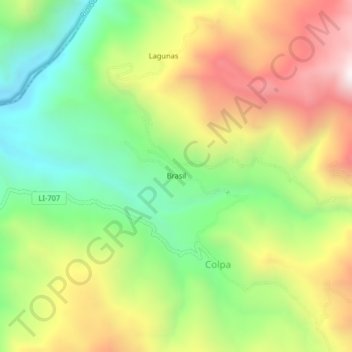
Name: Brasil topographic map, elevation, terrain.

Location: Brasil, Colpa, Sayapullo, Gran Chimú, La Libertad, Peru (-7.56358 -78.46745 -7.52358 -78.42745)

Average elevation: 6,283 ft

Minimum elevation: 4,731 ft

Maximum elevation: 8,261 ft

Gear up for your next adventure:

🚪Portable Camp Chair - Foldable chair for comfort at camp
🔦Powerful Headlamps - Ultra-bright hands-free lighting for night navigation
🧯Emergency Survival Kit - All‑in‑one survival essentials for the backcountry
🏥Hiking First Aid Kits - Comprehensive medical kits for remote trail injuries
🧯Portable Fire Pit - Compact fire pit for camping spots

As an Amazon Associate, this site earns from qualifying purchases at no extra cost to you.