
Kotturu topographic map
Click on the map to display elevation.
About this map
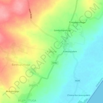
Name: Kotturu topographic map, elevation, terrain.
Location: Kotturu, Kaviti, Srikakulam, Andhra Pradesh, 532322, India (18.98861 84.66469 19.02861 84.70469)
Average elevation: 141 ft
Minimum elevation: 0 ft
Maximum elevation: 328 ft