Geolocate

Bantayan topographic map

Click on the map to display elevation.

About this map

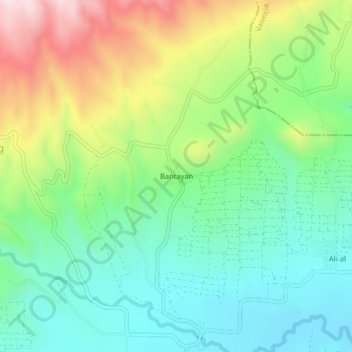
Name: Bantayan topographic map, elevation, terrain.

Location: Bantayan, Maramag, Bukidnon, Northern Mindanao, Philippines (7.85976 124.90504 7.89976 124.94504)

Average elevation: 2,769 ft

Minimum elevation: 2,123 ft

Maximum elevation: 4,012 ft

Gear up for your next adventure:

🥘Titanium Cookware - Durable, featherlight pots and pans for backpacking
🚑Emergency Bivvies - Heat-reflective sleeping bags for survival situations
🥄Camping Utensil Set - Lightweight utensils for outdoor meals
🧷Carabiner Set - Durable clips for gear attachment
📡Handheld GPS Device - Reliable handheld GPS for outdoor navigation

As an Amazon Associate, this site earns from qualifying purchases at no extra cost to you.