Geolocate

Odum topographic map

Click on the map to display elevation.

About this map

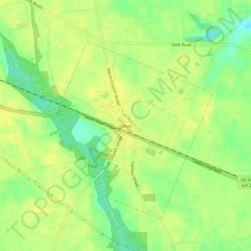
Name: Odum topographic map, elevation, terrain.

Location: Odum, Wayne County, Georgia, 31555, United States (31.64604 -82.04790 31.68604 -82.00790)

Average elevation: 144 ft

Minimum elevation: 98 ft

Maximum elevation: 171 ft

Wayne County trails, hiking, mountain biking, running and outdoor activities

Gear up for your next adventure:

Solar GPS Watches - Advanced multisport watches with built-in topographic maps
🕶️Glacier Sunglasses - Side shields to protect eyes from high-altitude snow glare
🧭Map Reading Tools - Tools and kits for map navigation
🔌Solar Panel Charger - Charge gear sustainably outdoors
🥩Freeze-Dried Meals - Nutritious and lightweight food for remote expeditions

As an Amazon Associate, this site earns from qualifying purchases at no extra cost to you.