
Macon topographic map
Click on the map to display elevation.
About this map
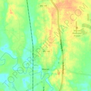
Name: Macon topographic map, elevation, terrain.
Location: Macon, Noxubee County, Mississippi, United States (33.09063 -88.57281 33.15213 -88.54514)
Average elevation: 203 ft
Minimum elevation: 144 ft
Maximum elevation: 266 ft
Noxubee County trails, hiking, mountain biking, running and outdoor activities
Other topographic maps
Click on a map to view its topography, its elevation and its terrain.
Noxubee National Wildlife Refuge
United States > Mississippi > Noxubee County
Average elevation: 243 ft