
Chesterbrook topographic map
Click on the map to display elevation.
About this map
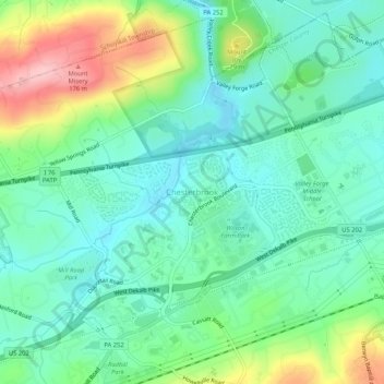
Name: Chesterbrook topographic map, elevation, terrain.
Average elevation: 266 ft
Minimum elevation: 105 ft
Maximum elevation: 653 ft
Chester County trails, hiking, mountain biking, running and outdoor activities
Other topographic maps
Click on a map to view its topography, its elevation and its terrain.
Wilson Farm Park
United States > Pennsylvania > Chester County > Tredyffrin Township > Chesterbrook
Average elevation: 223 ft