
Make a donation
Gear up for your next adventure:
As an Amazon Associate, this site earns from qualifying purchases at no extra cost to you.
La Orquídea topographic map
Click on the map to display elevation.
Make a donation
Gear up for your next adventure:
As an Amazon Associate, this site earns from qualifying purchases at no extra cost to you.
About this map
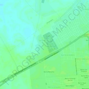
Name: La Orquídea topographic map, elevation, terrain.
Average elevation: 43 ft
Minimum elevation: 20 ft
Maximum elevation: 62 ft
Make a donation
Gear up for your next adventure:
As an Amazon Associate, this site earns from qualifying purchases at no extra cost to you.
Other topographic maps
Click on a map to view its topography, its elevation and its terrain.
Barcelona
Venezuela > Estado Anzoátegui > Municipio Simón Bolívar > Barcelona
Average elevation: 266 ft
Río Neverí
Venezuela > Estado Anzoátegui > Municipio Simón Bolívar > Barcelona
Average elevation: 115 ft
Cerro Venezuela
Venezuela > Estado Anzoátegui > Municipio Simón Bolívar > Barcelona
Average elevation: 33 ft
Playa Maurica
Venezuela > Estado Anzoátegui > Municipio Simón Bolívar > Barcelona
Average elevation: 7 ft
Make a donation
Gear up for your next adventure:
As an Amazon Associate, this site earns from qualifying purchases at no extra cost to you.
Cerro Venezuela
Venezuela > Estado Anzoátegui > Municipio Simón Bolívar > Barcelona
Average elevation: 33 ft
Cerro Venezuela
Venezuela > Estado Anzoátegui > Municipio Simón Bolívar > Barcelona
Average elevation: 33 ft