Geolocate

Divar Island topographic map

Click on the map to display elevation.

About this map

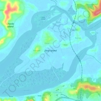
Name: Divar Island topographic map, elevation, terrain.

Location: Divar Island, Piedade, Tiswadi, North Goa District, Goa, India (15.50472 73.87447 15.54546 73.93170)

Average elevation: 36 ft

Minimum elevation: -13 ft

Maximum elevation: 305 ft

Gear up for your next adventure:

🧷Carabiner Set - Durable clips for gear attachment
🎒Day Hiking Backpack - Lightweight backpack perfect for day trips and outdoor adventures
🧥Men's Rain Shells - Premium waterproof and breathable jackets for mountain weather
🏥Hiking First Aid Kits - Comprehensive medical kits for remote trail injuries
🪶Wildlife Field Guides - Learn animal tracking and species ID

As an Amazon Associate, this site earns from qualifying purchases at no extra cost to you.