Geolocate

Al Jaddaf topographic map

Click on the map to display elevation.

About this map

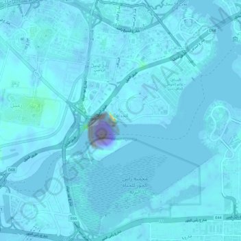
Name: Al Jaddaf topographic map, elevation, terrain.

Location: Al Jaddaf, Dubai, United Arab Emirates (25.18082 55.30903 25.23182 55.34533)

Average elevation: -20 ft

Minimum elevation: -3,517 ft

Maximum elevation: 276 ft

Other topographic maps

Click on a map to view its topography, its elevation and its terrain.

Palm Jumeirah

United Arab Emirates > Dubai > Dubai

Average elevation: 0 ft

Gear up for your next adventure:

🧥Waterproof Jacket for Hiking - Breathable and rugged rain jacket for outdoor excursions
📻Weather Alert Radios - Stay informed of storm risks while off-the-grid
🏕️Family Camping Gear - Essentials for group camping trips
👟Men's Trail Runners - Lightweight footwear for fast-paced exploration and light hiking
🗺️NatGeo Topo Maps - High-quality waterproof printed topographic maps of US Parks

As an Amazon Associate, this site earns from qualifying purchases at no extra cost to you.