
Bheri topographic map
Interactive map
Click on the map to display elevation.
About this map
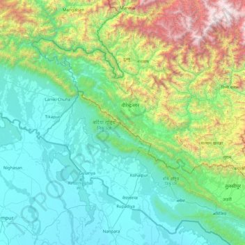
Name: Bheri topographic map, elevation, terrain.
Location: Bheri, Dailekh, Karnali Pradesh, Nepal (28.80109 81.67523 28.95399 81.82031)
Average elevation: 4,386 ft
Minimum elevation: 2,320 ft
Maximum elevation: 8,635 ft
Other topographic maps
Click on a map to view its topography, its elevation and its terrain.