
Thank you for supporting this site ❤️
Make a donation
Make a donation
Gear up for your next adventure:
As an Amazon Associate, this site earns from qualifying purchases at no extra cost to you.
Piçarras topographic map
Click on the map to display elevation.
Thank you for supporting this site ❤️
Make a donation
Make a donation
Gear up for your next adventure:
As an Amazon Associate, this site earns from qualifying purchases at no extra cost to you.
About this map
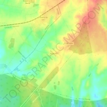
Name: Piçarras topographic map, elevation, terrain.
Location: Piçarras, Vendas Novas, Évora, 2985-213, Portugal (38.63317 -8.60100 38.67317 -8.56100)
Average elevation: 318 ft
Minimum elevation: 220 ft
Maximum elevation: 413 ft
Thank you for supporting this site ❤️
Make a donation
Make a donation
Gear up for your next adventure:
As an Amazon Associate, this site earns from qualifying purchases at no extra cost to you.