
虹桥公园 topographic map
Interactive map
Click on the map to display elevation.
About this map
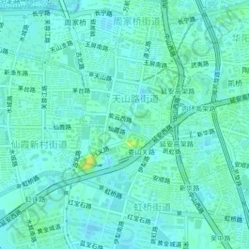
Name: 虹桥公园 topographic map, elevation, terrain.
Location: 虹桥公园, 绿庭, 天山路街道, 长宁区, 上海市, 中国 (31.20713 121.39984 31.20880 121.40199)
Average elevation: 26 ft
Minimum elevation: 10 ft
Maximum elevation: 66 ft
Other topographic maps
Click on a map to view its topography, its elevation and its terrain.