
阳关街道 topographic map
Interactive map
Click on the map to display elevation.
About this map
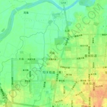
Name: 阳关街道 topographic map, elevation, terrain.
Location: 阳关街道, 固始县, 信阳市, 河南省, 中国 (32.17135 115.56665 32.23491 115.64261)
Average elevation: 144 ft
Minimum elevation: 95 ft
Maximum elevation: 207 ft
Other topographic maps
Click on a map to view its topography, its elevation and its terrain.