
Silwad topographic map
Click on the map to display elevation.
Silwad
Silwad (Arabic: سلواد) is a Palestinian town located north-east of Ramallah, about 5 km away from the Nablus-Jerusalem highway. Silwad's altitude is about 851 meters above sea level. According to the Palestinian Central Bureau of Statistics (PCBS), the town had a population of 6,123 inhabitants in 2007.
About this map
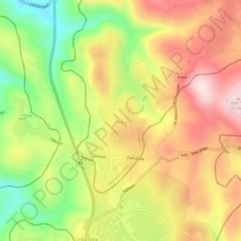
Name: Silwad topographic map, elevation, terrain.
Location: Silwad, Area B, West Bank, Palestinian Territory (31.95508 35.24245 31.99508 35.28245)
Average elevation: 2,720 ft
Minimum elevation: 2,024 ft
Maximum elevation: 3,333 ft