
Sant Sadurní d'Osormort topographic map
Interactive map
Click on the map to display elevation.
About this map
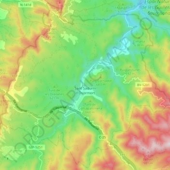
Name: Sant Sadurní d'Osormort topographic map, elevation, terrain.
Location: Sant Sadurní d'Osormort, Osona, Barcelona, Catalonië, Spanje (41.87152 2.33753 41.93645 2.42701)
Average elevation: 2,198 ft
Minimum elevation: 1,473 ft
Maximum elevation: 3,268 ft
Other topographic maps
Click on a map to view its topography, its elevation and its terrain.