
Thank you for supporting this site ❤️
Make a donation
Make a donation
Gear up for your next adventure:
As an Amazon Associate, this site earns from qualifying purchases at no extra cost to you.
ضبيعة topographic map
Click on the map to display elevation.
Thank you for supporting this site ❤️
Make a donation
Make a donation
Gear up for your next adventure:
As an Amazon Associate, this site earns from qualifying purchases at no extra cost to you.
About this map
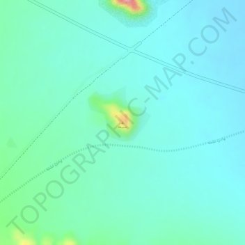
Name: ضبيعة topographic map, elevation, terrain.
Location: ضبيعة, Al Madinah Al Munawwarah, Medina Province, Saudi Arabia (24.65085 39.09670 24.65095 39.09680)
Average elevation: 2,254 ft
Minimum elevation: 2,169 ft
Maximum elevation: 2,598 ft
Thank you for supporting this site ❤️
Make a donation
Make a donation
Gear up for your next adventure:
As an Amazon Associate, this site earns from qualifying purchases at no extra cost to you.
Other topographic maps
Click on a map to view its topography, its elevation and its terrain.