Geolocate

Dille topographic map

Click on the map to display elevation.

About this map

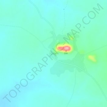
Name: Dille topographic map, elevation, terrain.

Location: Dille, Dille Huyim, Askira-Uba, Borno State, Nigeria (10.73126 13.19548 10.77126 13.23548)

Average elevation: 1,565 ft

Minimum elevation: 1,480 ft

Maximum elevation: 2,024 ft

Gear up for your next adventure:

💧Water Filtration Bottles - Safely drink from streams and lakes while exploring
🌲Outdoor Survival Books - Best books on survival skills
🚁Photography Drones - Capture stunning aerial views of landforms and topography
🏥Hiking First Aid Kits - Comprehensive medical kits for remote trail injuries
🩳Quick‑Dry Hiking Shorts - Comfortable and quick‑dry shorts for summer hiking

As an Amazon Associate, this site earns from qualifying purchases at no extra cost to you.