
杀虎口 topographic map
Interactive map
Click on the map to display elevation.
About this map
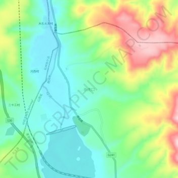
Name: 杀虎口 topographic map, elevation, terrain.
Location: 杀虎口, 右玉县, 朔州市, 山西省, 中国 (40.22261 112.29415 40.26261 112.33415)
Average elevation: 4,360 ft
Minimum elevation: 4,091 ft
Maximum elevation: 4,852 ft
Other topographic maps
Click on a map to view its topography, its elevation and its terrain.