
西榆林 topographic map
Interactive map
Click on the map to display elevation.
About this map
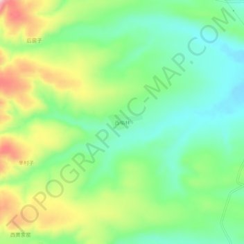
Name: 西榆林 topographic map, elevation, terrain.
Location: 西榆林, 右玉县, 朔州市, 山西省, 中国 (40.07005 112.25225 40.11005 112.29225)
Average elevation: 4,649 ft
Minimum elevation: 4,380 ft
Maximum elevation: 5,121 ft
Other topographic maps
Click on a map to view its topography, its elevation and its terrain.