
龙山镇 topographic map
Interactive map
Click on the map to display elevation.
About this map
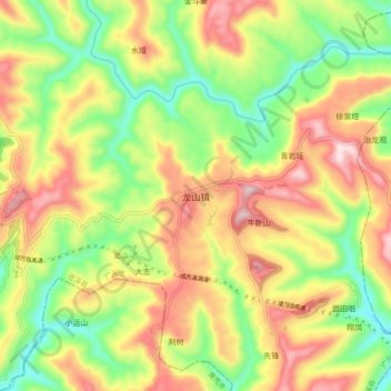
Name: 龙山镇 topographic map, elevation, terrain.
Location: 龙山镇, 苍溪县, 广元市, 四川省, 中国 (31.82818 106.32480 31.90818 106.40480)
Average elevation: 1,926 ft
Minimum elevation: 1,273 ft
Maximum elevation: 2,667 ft
Other topographic maps
Click on a map to view its topography, its elevation and its terrain.