
位山引黄灌区三干渠(鲁运河) topographic map
Interactive map
Click on the map to display elevation.
About this map
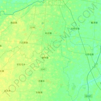
Name: 位山引黄灌区三干渠(鲁运河) topographic map, elevation, terrain.
Location: 位山引黄灌区三干渠(鲁运河), 聊城市, 山东省, 252000, 中国 (36.53770 115.68852 36.81454 115.77821)
Average elevation: 121 ft
Minimum elevation: 102 ft
Maximum elevation: 141 ft
Other topographic maps
Click on a map to view its topography, its elevation and its terrain.