
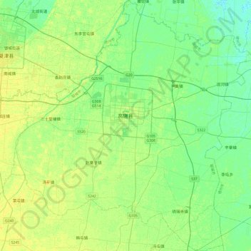
高唐县 topographic map
Interactive map
Click on the map to display elevation.
About this map
Name: 高唐县 topographic map, elevation, terrain.
Location: 高唐县, 聊城市, 山东省, 252800, 中国 (36.65057 116.00478 37.03143 116.46761)
Average elevation: 95 ft
Minimum elevation: 72 ft
Maximum elevation: 121 ft
Other topographic maps
Click on a map to view its topography, its elevation and its terrain.