Geolocate

Yanghe topographic map

Click on the map to display elevation.

About this map

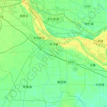
Name: Yanghe topographic map, elevation, terrain.

Location: Yanghe, Sucheng District, Suqian, Jiangsu, 223724, China (33.70349 118.30309 33.82145 118.57397)

Average elevation: 62 ft

Minimum elevation: 43 ft

Maximum elevation: 98 ft

Gear up for your next adventure:

🧭Map Reading Tools - Tools and kits for map navigation
📚Navigation Handbooks - Master the art of reading topographic maps and using a compass
🔭Telescopic Hiking Pole - Adjustable pole for hiking stability
🔦Compact Flashlight - Reliable flashlight for emergencies
🥾Men's Hiking Boots - Durable, waterproof footwear for rugged terrain and steep inclines

As an Amazon Associate, this site earns from qualifying purchases at no extra cost to you.