Geolocate

Emerson topographic map

Click on the map to display elevation.

About this map

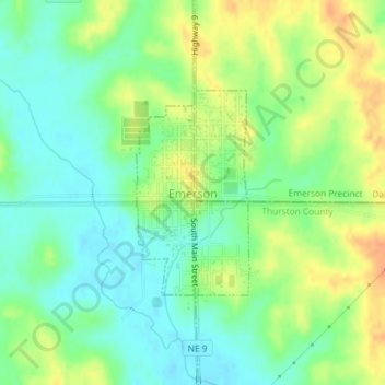
Name: Emerson topographic map, elevation, terrain.

Location: Emerson, Dixon County, Nebraska, United States (42.27140 -96.73209 42.28578 -96.72141)

Average elevation: 1,460 ft

Minimum elevation: 1,404 ft

Maximum elevation: 1,535 ft

Dixon County trails, hiking, mountain biking, running and outdoor activities

Gear up for your next adventure:

🪶Camping Sleeping Pad - Comfortable sleeping pad for backpacking
🔋Solar Power Banks - Keep your GPS and phone charged in remote wilderness areas
Solar GPS Watches - Advanced multisport watches with built-in topographic maps
🕶️Glacier Sunglasses - Side shields to protect eyes from high-altitude snow glare
🛡️Insect Repellent - Protection against bugs during outdoor activities

As an Amazon Associate, this site earns from qualifying purchases at no extra cost to you.