
Make a donation
Gear up for your next adventure:
As an Amazon Associate, this site earns from qualifying purchases at no extra cost to you.
Humantay Ccocha topographic map
Click on the map to display elevation.
Make a donation
Gear up for your next adventure:
As an Amazon Associate, this site earns from qualifying purchases at no extra cost to you.
About this map
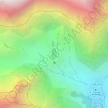
Name: Humantay Ccocha topographic map, elevation, terrain.
Location: Humantay Ccocha, Mollepata, Anta, Cusco, Peru (-13.38120 -72.58537 -13.37781 -72.58397)
Average elevation: 14,724 ft
Minimum elevation: 12,621 ft
Maximum elevation: 17,467 ft
Make a donation
Gear up for your next adventure:
As an Amazon Associate, this site earns from qualifying purchases at no extra cost to you.
Other topographic maps
Click on a map to view its topography, its elevation and its terrain.
Nevado Salkantay
Der Salcantay oder Salkantay ist mit einer Höhe von 6264 m der höchste Berg in der Region Cordillera Vilcabamba, einem Teil der peruanischen Anden.
Average elevation: 17,277 ft