
Thank you for supporting this site ❤️
Make a donation
Make a donation
Gear up for your next adventure:
As an Amazon Associate, this site earns from qualifying purchases at no extra cost to you.
Makemo topographic map
Click on the map to display elevation.
Thank you for supporting this site ❤️
Make a donation
Make a donation
Gear up for your next adventure:
As an Amazon Associate, this site earns from qualifying purchases at no extra cost to you.
About this map
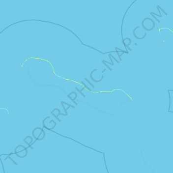
Name: Makemo topographic map, elevation, terrain.
Location: Makemo, Tuamotu-Gambier, French Polynesia, France (-16.94735 -144.13417 -16.23518 -143.17049)
Average elevation: 0 ft
Minimum elevation: 0 ft
Maximum elevation: 33 ft
Thank you for supporting this site ❤️
Make a donation
Make a donation
Gear up for your next adventure:
As an Amazon Associate, this site earns from qualifying purchases at no extra cost to you.