
Cornale topographic map
Click on the map to display elevation.
Cornale
Il più frequentato è quello che reca in località Spersiglio, dove è presente una caratteristica fattoria da cui si può accedere alle distese erbose di Pradale, prati che formano una grande terrazza naturale che sovrasta la zona collinare di Scanzorosciate, e che permette una visuale mozzafiato sia sulla valle che sulla pianura, nonostante la ridotta altitudine.
About this map
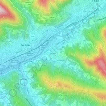
Name: Cornale topographic map, elevation, terrain.
Location: Cornale, Pradalunga, Bergamo, Lombardia, 24027, Italia (45.72089 9.75399 45.76089 9.79399)
Average elevation: 1,414 ft
Minimum elevation: 925 ft
Maximum elevation: 2,825 ft