Geolocate

Silver Springs topographic map

Click on the map to display elevation.

About this map

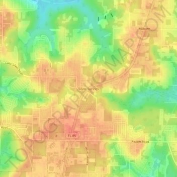
Name: Silver Springs topographic map, elevation, terrain.

Location: Silver Springs, Okaloosa County, Florida, United States (30.78658 -86.57245 30.82658 -86.53245)

Average elevation: 230 ft

Minimum elevation: 121 ft

Maximum elevation: 295 ft

Okaloosa County trails, hiking, mountain biking, running and outdoor activities

Gear up for your next adventure:

🧭Orienteering Set - Complete compass and map reading kit
Backpacking Tent - Lightweight and durable tent for multi‑day hikes
🏔️Mountain Trail Maps - High‑detail maps for popular peaks
🛡️Bear Spray Outdoor - Protection in bear country hikes
☀️Outdoor Sunscreen - High protection sunscreen for outdoor activities

As an Amazon Associate, this site earns from qualifying purchases at no extra cost to you.