
Thank you for supporting this site ❤️
Make a donation
Make a donation
Gear up for your next adventure:
As an Amazon Associate, this site earns from qualifying purchases at no extra cost to you.
Les topographic map
Click on the map to display elevation.
Thank you for supporting this site ❤️
Make a donation
Make a donation
Gear up for your next adventure:
As an Amazon Associate, this site earns from qualifying purchases at no extra cost to you.
About this map
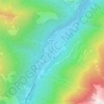
Name: Les topographic map, elevation, terrain.
Location: Les, Val d'Aran, Lleida, Catalonia, 25540, Spain (42.79269 0.69183 42.83269 0.73183)
Average elevation: 3,576 ft
Minimum elevation: 1,985 ft
Maximum elevation: 7,346 ft
Thank you for supporting this site ❤️
Make a donation
Make a donation
Gear up for your next adventure:
As an Amazon Associate, this site earns from qualifying purchases at no extra cost to you.