Geolocate

Malra topographic map

Click on the map to display elevation.

About this map

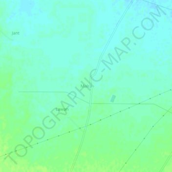
Name: Malra topographic map, elevation, terrain.

Location: Malra, Mahendragarh, Haryana, India (28.32843 76.15074 28.36843 76.19074)

Average elevation: 837 ft

Minimum elevation: 820 ft

Maximum elevation: 853 ft

Gear up for your next adventure:

🪑Ultralight Camp Chairs - Portable seating for resting after a long day of mapping
📦Dry Bags Set - Waterproof storage for electronics and clothes
🪶LED Camping Lantern - Bright lantern for camp lighting
🌧️Backpack Rain Cover - Keep gear dry in wet weather
🧢Outdoor Hiking Hat - Sun protection hat for outdoor explorers

As an Amazon Associate, this site earns from qualifying purchases at no extra cost to you.