Geolocate

Scandia topographic map

Click on the map to display elevation.

About this map

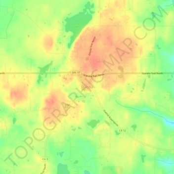
Name: Scandia topographic map, elevation, terrain.

Location: Scandia, Washington County, Minnesota, 55073, United States (45.23337 -92.82630 45.27337 -92.78630)

Average elevation: 1,010 ft

Minimum elevation: 915 ft

Maximum elevation: 1,073 ft

Washington County trails, hiking, mountain biking, running and outdoor activities

Gear up for your next adventure:

🪶Paracord Bracelet - Survival bracelet with built‑in tools
🪓Survival Multi‑Tool - Versatile tool for camp and trail tasks
📻Weather Alert Radios - Stay informed of storm risks while off-the-grid
🏫Relief Map Kits - Hands-on tools for teaching landforms and elevation
🔪Outdoor Multitools - Essential survival tools for gear repair and field use

As an Amazon Associate, this site earns from qualifying purchases at no extra cost to you.