Geolocate

Kalpathy topographic map

Click on the map to display elevation.

About this map

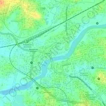
Name: Kalpathy topographic map, elevation, terrain.

Location: Kalpathy, Chunnambuthara, Palakkad, Kerala, 678001, India (10.79193 76.63912 10.80117 76.65023)

Average elevation: 269 ft

Minimum elevation: 223 ft

Maximum elevation: 344 ft

Other topographic maps

Click on a map to view its topography, its elevation and its terrain.

Puliyakulam Kadamkode

India > Kerala > Palakkad > Palakkad

Average elevation: 299 ft

Bharathapuzha

India > Kerala > Palakkad > Palakkad

Average elevation: 289 ft

Gear up for your next adventure:

🧤Hiking Gloves - Protective gloves for rugged trails
🏥Hiking First Aid Kits - Comprehensive medical kits for remote trail injuries
🌧️Backpack Rain Cover - Keep gear dry in wet weather
🧷Carabiner Set - Durable clips for gear attachment
🪶Survival Guide Book - Expert advice for emergency preparedness

As an Amazon Associate, this site earns from qualifying purchases at no extra cost to you.