
Town of Maggie Valley topographic map
Interactive map
Click on the map to display elevation.
About this map
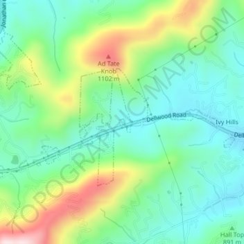
Name: Town of Maggie Valley topographic map, elevation, terrain.
Average elevation: 2,976 ft
Minimum elevation: 2,612 ft
Maximum elevation: 3,786 ft
Haywood County trails, hiking, mountain biking, running and outdoor activities