Geolocate

Lincoln City topographic map

Click on the map to display elevation.

About this map

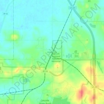
Name: Lincoln City topographic map, elevation, terrain.

Location: Lincoln City, Spencer County, Indiana, 47552, United States (38.10116 -87.01861 38.14116 -86.97861)

Average elevation: 449 ft

Minimum elevation: 387 ft

Maximum elevation: 577 ft

Spencer County trails, hiking, mountain biking, running and outdoor activities

Other topographic maps

Click on a map to view its topography, its elevation and its terrain.

Rockport

United States > Indiana > Spencer County

Average elevation: 397 ft

Rockport

United States > Indiana > Spencer County

Average elevation: 397 ft

Spencer County

United States > Indiana > Spencer County

Average elevation: 440 ft

Gear up for your next adventure:

🛰️Satellite Messengers - Emergency SOS and two-way messaging for off-grid adventures
🧥Waterproof Jacket for Hiking - Breathable and rugged rain jacket for outdoor excursions
🪶Wildlife Field Guides - Learn animal tracking and species ID
🌧️Backpack Rain Cover - Keep gear dry in wet weather
🧤Tactile Hiking Gloves - Keep hands warm while operating GPS and smartphone screens

As an Amazon Associate, this site earns from qualifying purchases at no extra cost to you.