
Maramec topographic map
Interactive map
Click on the map to display elevation.
About this map
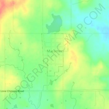
Name: Maramec topographic map, elevation, terrain.
Location: Maramec, Pawnee County, Oklahoma, 74045, United States (36.23584 -96.68436 36.24637 -96.67624)
Average elevation: 961 ft
Minimum elevation: 883 ft
Maximum elevation: 1,063 ft