
West Point topographic map
Click on the map to display elevation.
About this map
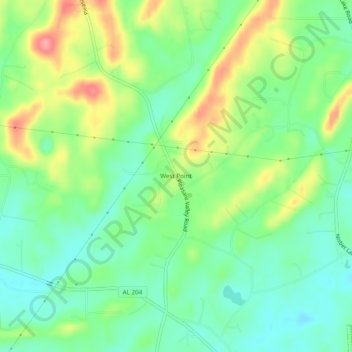
Name: West Point topographic map, elevation, terrain.
Location: West Point, Calhoun County, Alabama, 36265, United States (33.82649 -85.82969 33.86649 -85.78969)
Average elevation: 673 ft
Minimum elevation: 561 ft
Maximum elevation: 863 ft
Calhoun County trails, hiking, mountain biking, running and outdoor activities