
Thank you for supporting this site ❤️
Make a donation
Make a donation
Gear up for your next adventure:
As an Amazon Associate, this site earns from qualifying purchases at no extra cost to you.
Spomyšl topographic map
Click on the map to display elevation.
Thank you for supporting this site ❤️
Make a donation
Make a donation
Gear up for your next adventure:
As an Amazon Associate, this site earns from qualifying purchases at no extra cost to you.
About this map
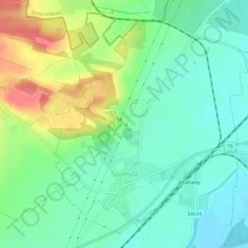
Name: Spomyšl topographic map, elevation, terrain.
Location: Spomyšl, okres Mělník, Central Bohemia, 27705, Czechia (50.32944 14.34743 50.35215 14.38168)
Average elevation: 627 ft
Minimum elevation: 545 ft
Maximum elevation: 787 ft
Thank you for supporting this site ❤️
Make a donation
Make a donation
Gear up for your next adventure:
As an Amazon Associate, this site earns from qualifying purchases at no extra cost to you.