
Hosford topographic map
Click on the map to display elevation.
About this map
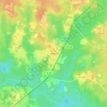
Name: Hosford topographic map, elevation, terrain.
Location: Hosford, Liberty County, Florida, 32334, United States (30.36659 -84.81797 30.40659 -84.77797)
Average elevation: 89 ft
Minimum elevation: 16 ft
Maximum elevation: 157 ft
Liberty County trails, hiking, mountain biking, running and outdoor activities
Other topographic maps
Click on a map to view its topography, its elevation and its terrain.