
Thank you for supporting this site ❤️
Make a donation
Make a donation
Gear up for your next adventure:
As an Amazon Associate, this site earns from qualifying purchases at no extra cost to you.
Tlayecac topographic map
Click on the map to display elevation.
Thank you for supporting this site ❤️
Make a donation
Make a donation
Gear up for your next adventure:
As an Amazon Associate, this site earns from qualifying purchases at no extra cost to you.
About this map
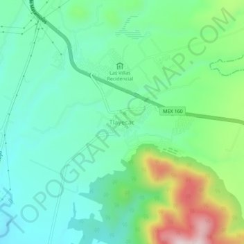
Name: Tlayecac topographic map, elevation, terrain.
Location: Tlayecac, Ayala, Morelos, 62715, México (18.73547 -98.90191 18.77547 -98.86191)
Average elevation: 4,508 ft
Minimum elevation: 4,121 ft
Maximum elevation: 5,492 ft
Thank you for supporting this site ❤️
Make a donation
Make a donation
Gear up for your next adventure:
As an Amazon Associate, this site earns from qualifying purchases at no extra cost to you.