Geolocate

Senjerimalai topographic map

Click on the map to display elevation.

About this map

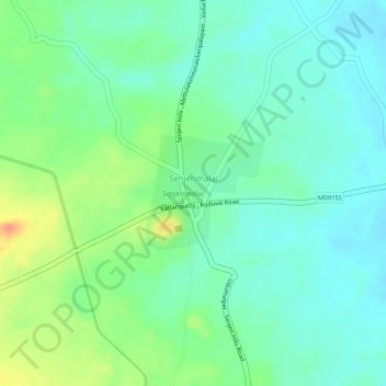
Name: Senjerimalai topographic map, elevation, terrain.

Location: Senjerimalai, Sulur, Coimbatore District, Tamil Nadu, India (10.82752 77.19110 10.83563 77.19955)

Average elevation: 1,220 ft

Minimum elevation: 1,165 ft

Maximum elevation: 1,319 ft

Gear up for your next adventure:

🥾Women's Hiking Boots - Top-rated trail boots with ankle support and superior grip
🧴Hand Sanitizer - Keep hands clean while hiking
🌡️Handheld Weather Meters - Measure wind, temp, and pressure for safe mountain travel
📦Dry Bags Set - Waterproof storage for electronics and clothes
🏕️Tent Footprint - Protect your tent base from wear

As an Amazon Associate, this site earns from qualifying purchases at no extra cost to you.