Geolocate

Kashlav topographic map

Click on the map to display elevation.

About this map

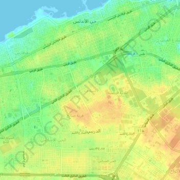
Name: Kashlav topographic map, elevation, terrain.

Location: Kashlav, Tripoli, Libya (32.83966 13.10970 32.87966 13.14970)

Average elevation: 62 ft

Minimum elevation: -7 ft

Maximum elevation: 112 ft

Gear up for your next adventure:

🩳Quick‑Dry Hiking Shorts - Comfortable and quick‑dry shorts for summer hiking
🗺️Topographic Maps - Detailed topo maps for hiking, exploring and outdoor navigation
🛰️Satellite Messengers - Emergency SOS and two-way messaging for off-grid adventures
🔥Camping Stove - Portable stove for camping and backcountry cooking
🧤Tactile Hiking Gloves - Keep hands warm while operating GPS and smartphone screens

As an Amazon Associate, this site earns from qualifying purchases at no extra cost to you.