
Woodrow topographic map
Click on the map to display elevation.
About this map
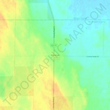
Name: Woodrow topographic map, elevation, terrain.
Location: Woodrow, Washington County, Colorado, United States (39.96857 -103.61108 40.00857 -103.57108)
Average elevation: 4,482 ft
Minimum elevation: 4,432 ft
Maximum elevation: 4,534 ft
Other topographic maps
Click on a map to view its topography, its elevation and its terrain.