
Thank you for supporting this site ❤️
Make a donation
Make a donation
Gear up for your next adventure:
As an Amazon Associate, this site earns from qualifying purchases at no extra cost to you.
Risum topographic map
Click on the map to display elevation.
Thank you for supporting this site ❤️
Make a donation
Make a donation
Gear up for your next adventure:
As an Amazon Associate, this site earns from qualifying purchases at no extra cost to you.
About this map
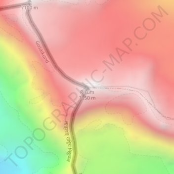
Name: Risum topographic map, elevation, terrain.
Location: Risum, 波绒乡, Kreis Nyalam, Shigatse, Tibet, China (28.37285 85.72210 28.37295 85.72220)
Average elevation: 21,214 ft
Minimum elevation: 17,812 ft
Maximum elevation: 23,054 ft
Thank you for supporting this site ❤️
Make a donation
Make a donation
Gear up for your next adventure:
As an Amazon Associate, this site earns from qualifying purchases at no extra cost to you.