Geolocate

Alchi topographic map

Click on the map to display elevation.

About this map

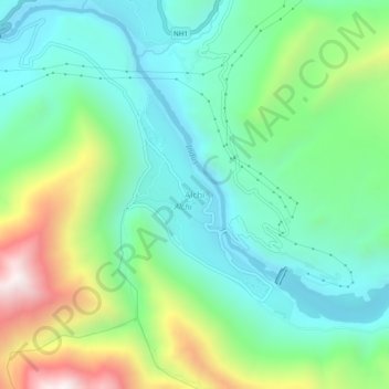
Name: Alchi topographic map, elevation, terrain.

Location: Alchi, Khaltsi, Leh district, Ladakh, India (34.20363 77.15406 34.24363 77.19406)

Average elevation: 10,932 ft

Minimum elevation: 9,987 ft

Maximum elevation: 13,186 ft

Gear up for your next adventure:

🛏️Cold Weather Sleeping Bag - Warm sleeping bag for cold conditions
📌Outdoor GPS Map App - Apps and devices for digital topographic navigation
⛑️Personal Locator Beacon - Safety beacon for emergencies
📖Nature Tracking Books - Learn to track wildlife and terrain
🛌Ultralight Sleeping Bags - Compact down bags for cold nights in the wilderness

As an Amazon Associate, this site earns from qualifying purchases at no extra cost to you.