
Thank you for supporting this site ❤️
Make a donation
Make a donation
Gear up for your next adventure:
As an Amazon Associate, this site earns from qualifying purchases at no extra cost to you.
Sindarli topographic map
Click on the map to display elevation.
Thank you for supporting this site ❤️
Make a donation
Make a donation
Gear up for your next adventure:
As an Amazon Associate, this site earns from qualifying purchases at no extra cost to you.
About this map
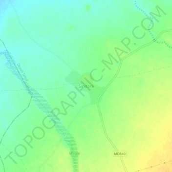
Name: Sindarli topographic map, elevation, terrain.
Location: Sindarli, Desuri Tehsil, Pali, Rajasthan, India (25.22664 73.39685 25.26664 73.43685)
Average elevation: 1,079 ft
Minimum elevation: 1,040 ft
Maximum elevation: 1,122 ft
Thank you for supporting this site ❤️
Make a donation
Make a donation
Gear up for your next adventure:
As an Amazon Associate, this site earns from qualifying purchases at no extra cost to you.