Geolocate

Shigar River topographic map

Click on the map to display elevation.

About this map

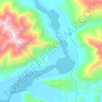
Name: Shigar River topographic map, elevation, terrain.

Location: Shigar River, Skardu, Gilgit-Baltistan, Pakistan (35.32719 75.62844 35.46868 75.74610)

Average elevation: 9,465 ft

Minimum elevation: 7,178 ft

Maximum elevation: 16,916 ft

Gear up for your next adventure:

👟Trail Running Shoes - Lightweight shoes for trail runners
🔥Camping Stove - Portable stove for camping and backcountry cooking
📱Heavy-Duty Phone Cases - Drop-proof and waterproof protection for outdoor navigation
🛰️Satellite Messengers - Emergency SOS and two-way messaging for off-grid adventures
🍳Camping Cook Set - Complete cookware for outdoor meals

As an Amazon Associate, this site earns from qualifying purchases at no extra cost to you.