
Sproxton topographic map
Click on the map to display elevation.
About this map
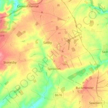
Name: Sproxton topographic map, elevation, terrain.
Location: Sproxton, Melton, Leicestershire, England, United Kingdom (52.79473 -0.80528 52.84496 -0.68369)
Average elevation: 449 ft
Minimum elevation: 315 ft
Maximum elevation: 568 ft
Other topographic maps
Click on a map to view its topography, its elevation and its terrain.
Langham Brook
United Kingdom > England > Leicestershire > Melton > Saxby > Freeby
Average elevation: 308 ft