
Martha Templeton Rock topographic map
Interactive map
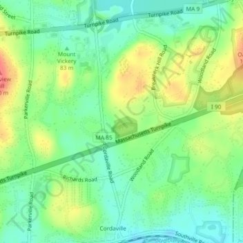
Click on the map to display elevation.
About this map
Name: Martha Templeton Rock topographic map, elevation, terrain.
Average elevation: 312 ft
Minimum elevation: 226 ft
Maximum elevation: 449 ft