
Thank you for supporting this site ❤️
Make a donation
Make a donation
Gear up for your next adventure:
As an Amazon Associate, this site earns from qualifying purchases at no extra cost to you.
Begampura topographic map
Click on the map to display elevation.
Thank you for supporting this site ❤️
Make a donation
Make a donation
Gear up for your next adventure:
As an Amazon Associate, this site earns from qualifying purchases at no extra cost to you.
About this map
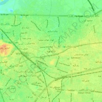
Name: Begampura topographic map, elevation, terrain.
Location: Begampura, Lahore Cantonment Tehsil, Punjab, 54010, Pakistan (31.54078 74.32168 31.62078 74.40168)
Average elevation: 709 ft
Minimum elevation: 659 ft
Maximum elevation: 758 ft
Thank you for supporting this site ❤️
Make a donation
Make a donation
Gear up for your next adventure:
As an Amazon Associate, this site earns from qualifying purchases at no extra cost to you.